Arnoga - Rifugio Viola
General Notes:
Altitude Difference: 440 m
Time: 2h
Phisical Effort: Low
Difficulty: E
Description:
The start of this beautiful excursion is located in Arnoga, near the hairpin bend along the road that goes up to the Foscagno pass near some restaurant, we will turn left and then keep left taking a small downhill road that leads us to a large parking.
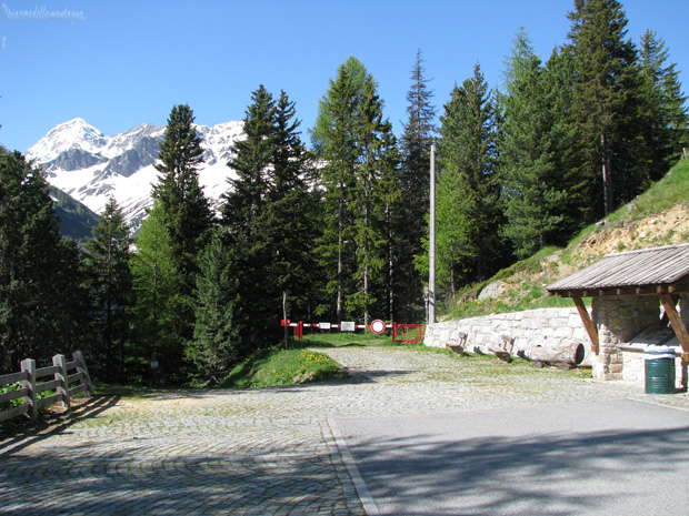
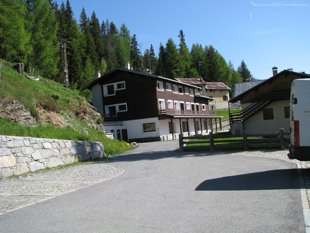
From this point once parked our car we can have two alternatives: either go up to the refuge along the lower path,longer, or go up for a few meters along a small path until you meet the paved road that enters the valley.
For those who do not want to start from this point along the valley there are many areas to park however in the summer periods July-August-September,just after the turn we will immediately meet the forest guards who will stop us and ask 3 € to enter with car in the valley.
Going up on foot instead we will not have to pay any kind of tax,starting from our parking lot we will face along the paved road the first meters with low slope before facing a challenging stretch with high slopes and successively an equally short but demanding descent,however at the beginning of the climb we will find on the left a small track that will allow us to avoid this short climb until we meet with the cart track in the area of the first parachuting area inside the valley.
From this first parking area we will always climb along the road with always slight or sometimes almost zero slopes, admiring the beautiful valley.
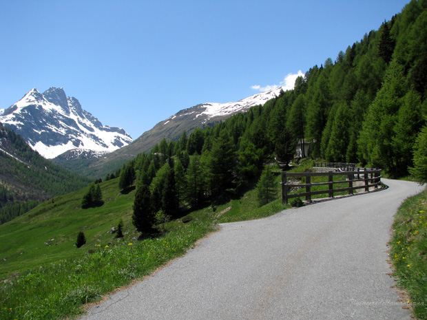
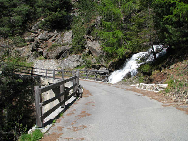
We will continue on this road with little traffic, passing small streams, bridges, always immersed in the woods of larch and firs until the last parking place in Altumeira at an altitude of 2100m. above sea level, where the paved road ends and from where now on it is no longer allowed to transit cars.
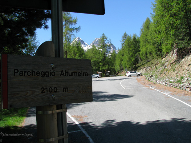
From the parking lots of Altumeira we go up slowly the valley passing the huts of altumeira and slowly the view tends to open,the vegetation thinens and we could admire in all their beauty some of the most beautiful peaks such as Pizzo Dosde and pizzo viola with its glacier.
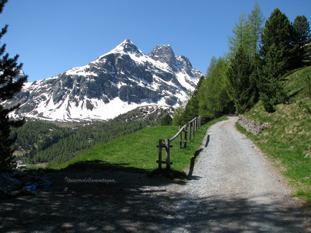
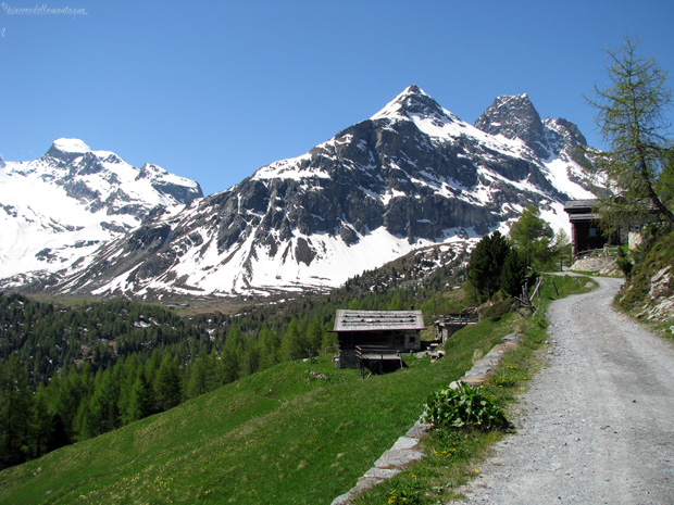
The slopes always remain slight until the junction towards the Dosde hut, Passo Dosde, from now for about 500 m the slopes become slightly higher and we will travel two small hills.
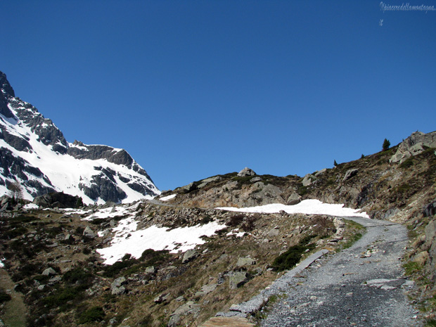
At the end of these two hills the slopes return to being almost practically zero, and we are already able to see the refuge in the distance and the two lakes located in the vicinity.
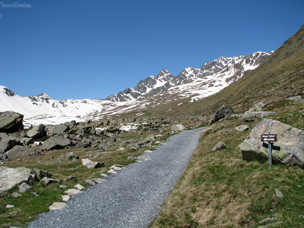
The signs indicate a time of 30' to reach it, but even if still far enough in about 10' walking quietly we will be able to reach it.
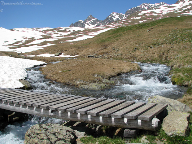
Near a detour to the alpine pastures of Val Viola our path splits, a small track goes downhill while the main path continues flat, take one or the other is indifferent, however I recommend taking the first downhill,we will face a small wooden bridge along the multiple rivers/streams, and then finally arrive at the refuge.
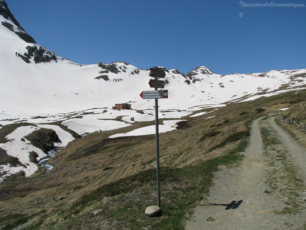
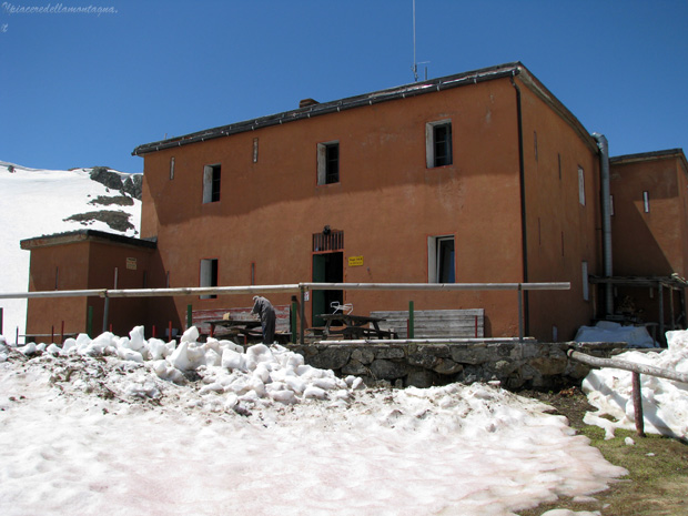
Although the route has an almost zero difference in height,it could be difficult due to the considerable length;especially the descent could be extremely tiring.
