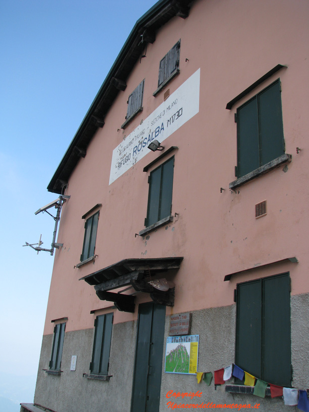
Piani Resinelli - Rifugio Rosalba(Sentiero delle Foppe)
General Notes:
Altitude Difference:550 m
Time: 2h
Phisical Effort: Normale
Difficulty: E
Description:
The route starts from the Piani Resinelli, near the Alippi Refuge, once you reach the Piani after passing the parking lot, just before the church we will turn into a small road on the right slightly leaning,not to be confused with the one on its right which instead with a great slope leads to a series of houses above the village.
We will follow with our car a narrow road downhill for about 3 km, after facing the second hairpin we will have to find a parking space for our car,as the path starts slightly below and there are no other parking spaces where you can park.
The route starts in via alle Foppe, where signs indicate us with the signpost number 9, the rosalba refuge at 2 hours and downhill towards Mandello or Abbadia.

At the beginning the path is a small road that leads to the last houses of the Piani Resinelli, it is not possible to travel by car as only the owners of these houses have permits;the road has very slight slopes,and allows us to admire a beautiful view of the Grignetta, Piani Resinelli and the lake.
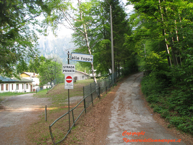
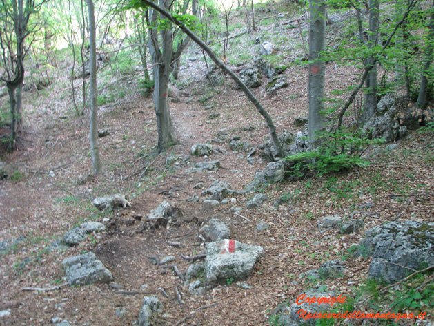
After about 500m we will find a sign that will make us turn right, making us enter a beautiful beech forest, the path goes up for about 100m after which it returns flat again.
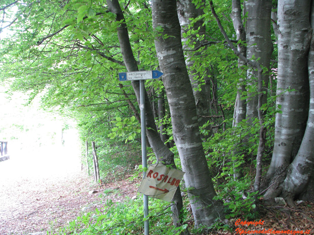
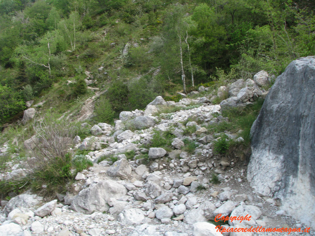
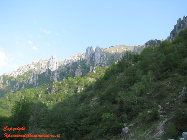
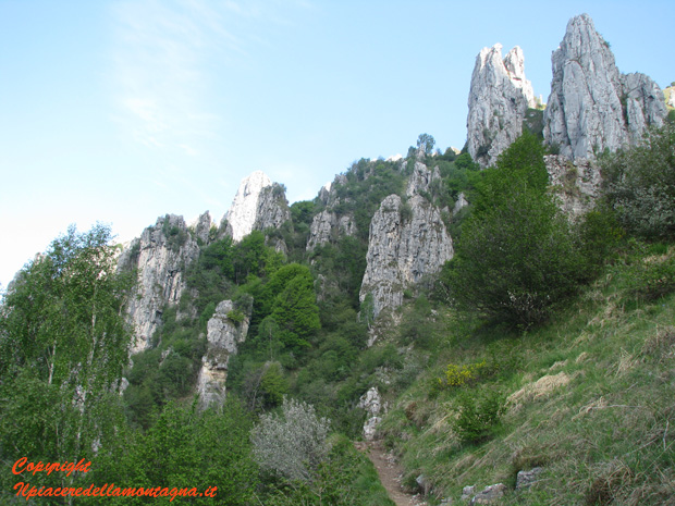
We arrive up to a root,tree where the sign indicating 1 h 40 to the refuge,will make us descend for a hundred meters,until we reach a landslide valley,where the path,built between the rocks will allow us to cross it without problems.Looking upwards we can already admire the torions that make the grignetta so famous and unique.
DAfter passing this short stretch, the path begins to climb with greater steepness, although it is always very easy, until we meet a point where there are iron steps in addition to a rope that will allow us to easily overcome this small jump.
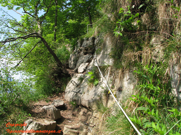
Nothing difficult or dangerous, in fact sometimes it is funny..
This is the point where the real path begins,the slopes become high,and the path is a continuous climb on natural rocky steps, sometimes we will be forced to help us with our hands where necessary.
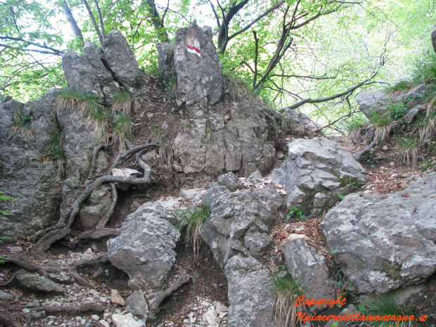
We will meet during the climb the detour with the path of the dead and then with the path number 12 that leads to the village of Rongio, located just above mandello; just near these crossroads the path presents the steepest and most challenging stretch,you enter a small "gully" where the slopes become high.
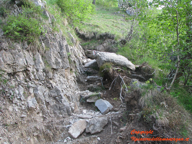
This is the hardest stretch there is not a moment of breath,and it lasts about 30', something more for those who are poorly trained.
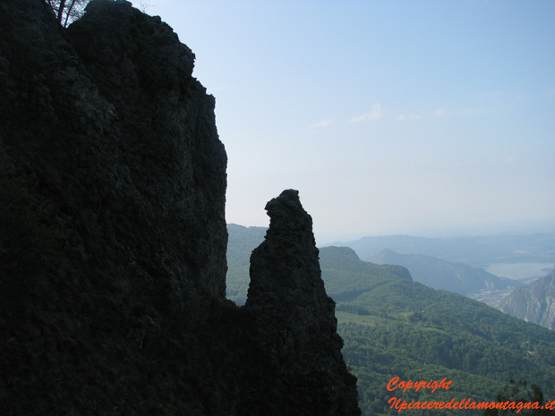
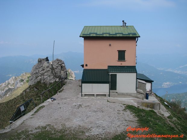
The end of the challenging stretch coincides with the arrival in the meadows of Grignetta, the refuge can be seen in the distance and the path always climbs, but less steep. In these stretches, especially in midweek periods, with few people, it is possible to admire herds of chamois that graze the grass.
We can see the route that we will make until we reach the refuge,in this stretch we could also admire the majestic spires and towers that surround us, real natural gyms for climbing lovers.
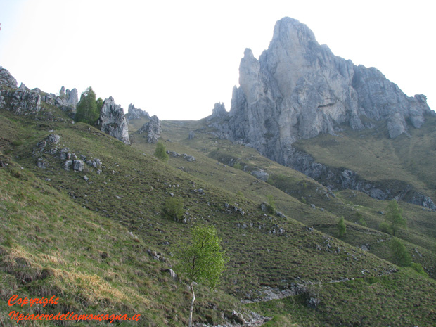
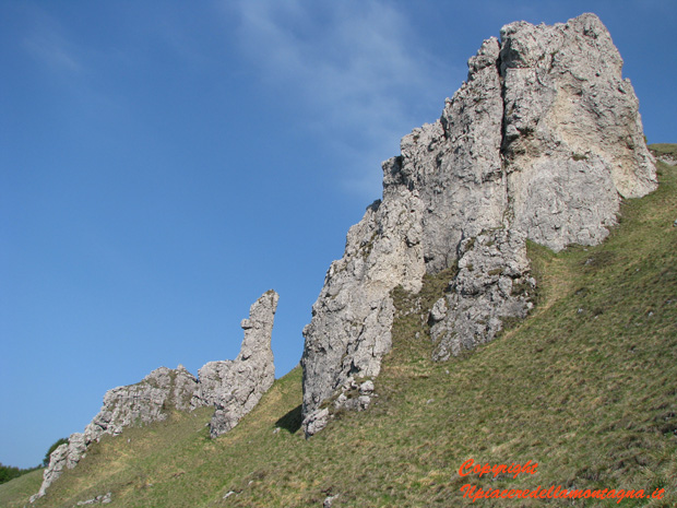
We go up with the path that in the most challenging points goes up to hairpin bends, with some points where we must always help ourselves with our hands,fatigue could be felt at this point,but we must always pay great attention to where we walk and to those who are on it, because the path is very stony and the fall of stones, which due to the steepness of the ground could


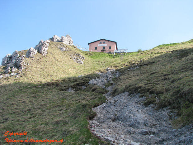
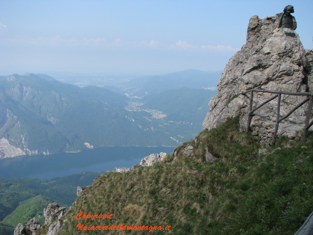
The last meters, however, are very challenging, the path rises sharply and makes us gain height in a short time until we reach the refuge, from which we have a fabulous and beautiful view.
