Traversata Bassa Grigne
General Notes:
Lenght: 25 km
Difference in height:1350 m
On bike:80%
Terrain: Asphalt, dirt road, singletrail
Fountain: In Ballabio
Category: AM, Cross Country
Gpx File: Traversatabassa.gpx
Description:
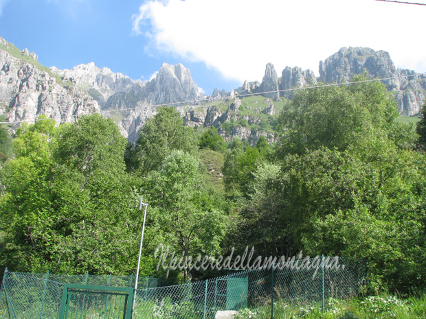
The Traversata bassa delle Grigne is a beautiful trail that joins Piani dei Resinelli with the Pialer, we will pass from the Southern Grigna(Grignetta),to the northern one(Grignone),on a beautiful path with continuous ups and downs.
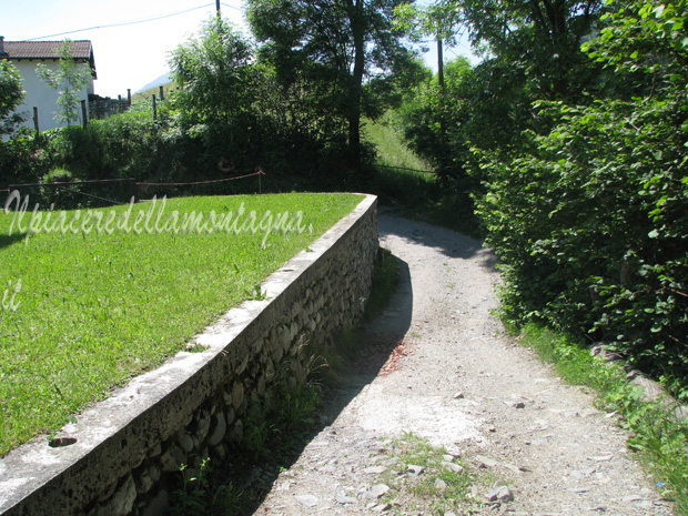
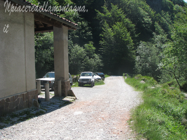
The track starts from Ballabio, once parked the car, we begin to climb along the road that leads to the Piani Resinelli, the climb is lenght 7 km with an average slope around 8% and total difference in height of 600m.
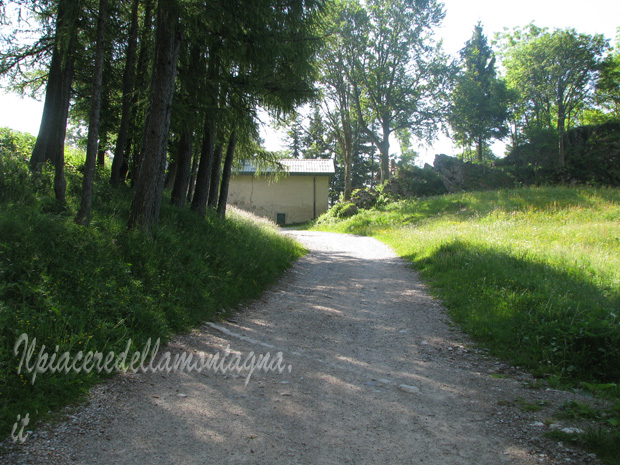
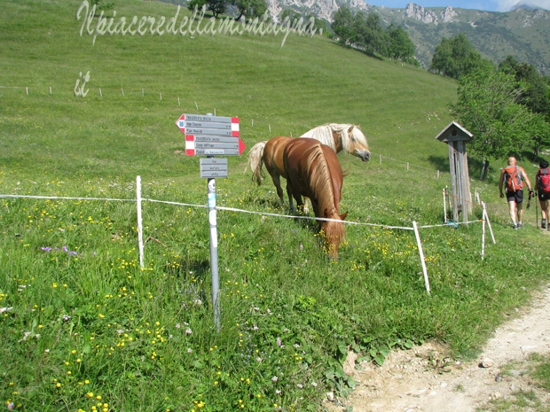
Once you will reach Piani Resinelli, we will turn on right and following a road that leads uphill first to the Forno dei resinelli, and then continue with fairly high slopes around 14-15% up to Rifugio Soldanella.
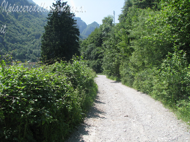
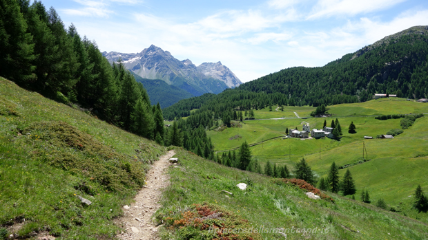
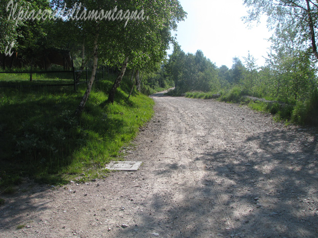
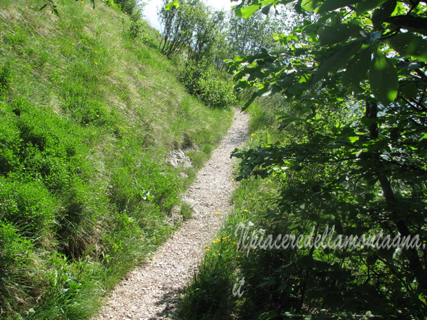
From rifugio Soldanella the road that we are following, becomes a dirt road and begins to go up and down first and it lead us to the farm in Pian delle Fontane.
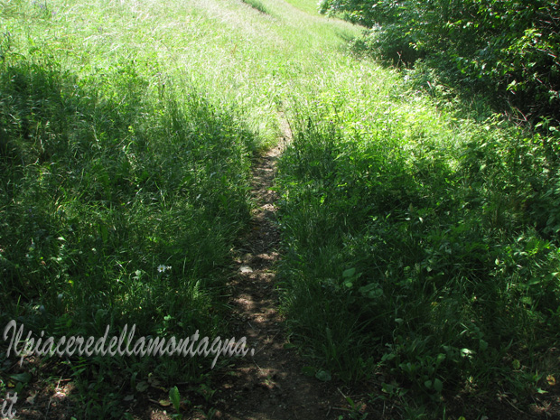
However, before reaching the farm, we have to turn on left and follow a single trail that goes inside the wood.
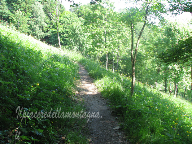
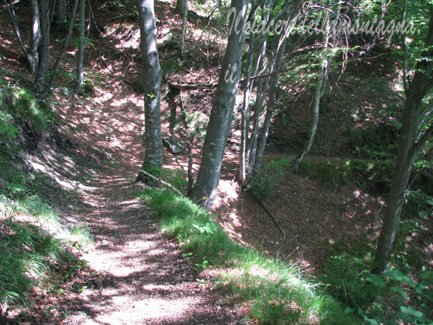
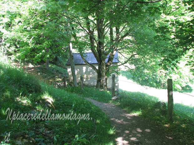
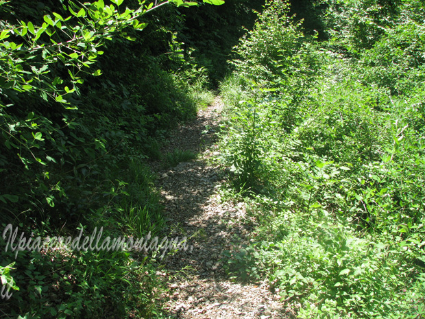
We will arrive at a small ruined hut, where we will keep to the right, following a short downhill and we could be forced to get off our MTB, due to many rocks.
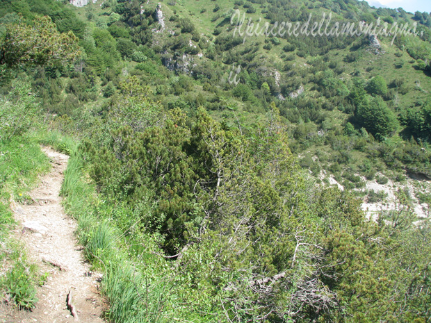

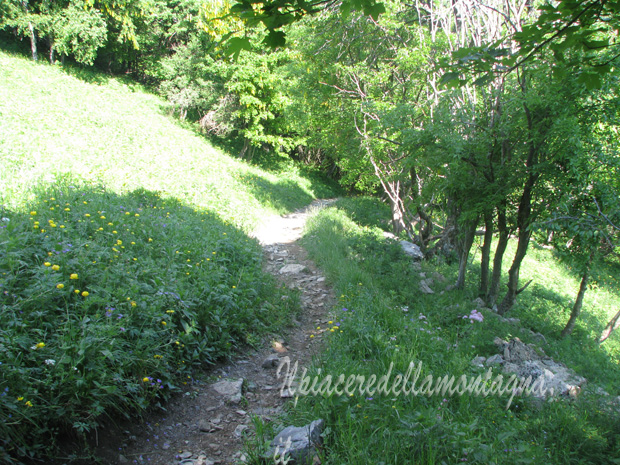
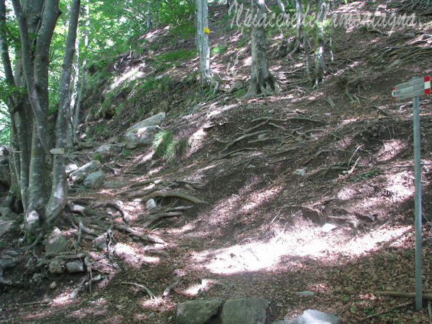
The trail remains quite narrow and we must pay attention to the stones on its sides that could hinder us.
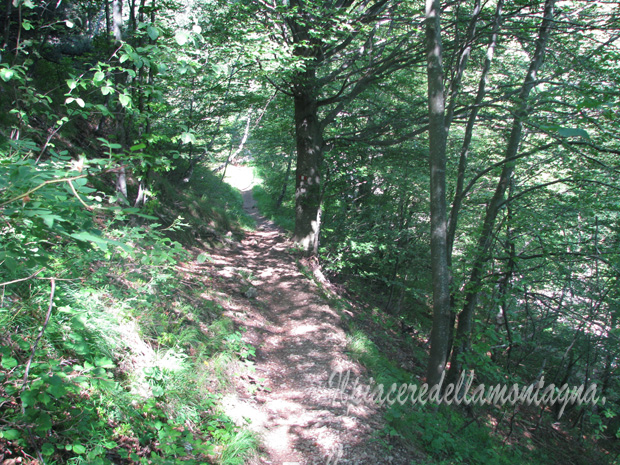
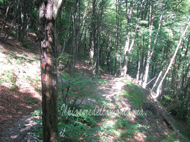
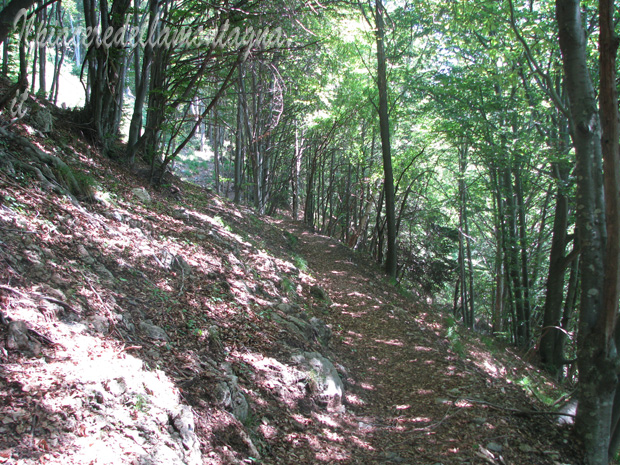
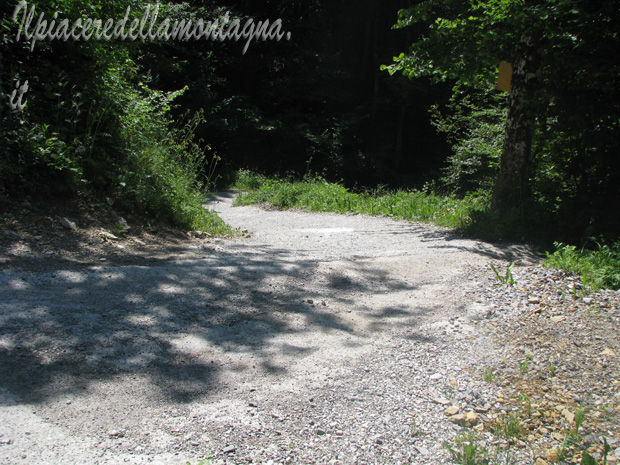
We will surpass a screw and after that we will find a beautiful downhill inside the wood, with a single trail very flow.
We will arrive at a small hut just before the Pioverna river where the path divides,for those who were tired and did not want to face 20-25' pushing the bike uphill, can go down to the right towards the church of Sacro Cuore and can return to Ballabio passing through Colle di Balisio,only the last 500 we face on the main road.
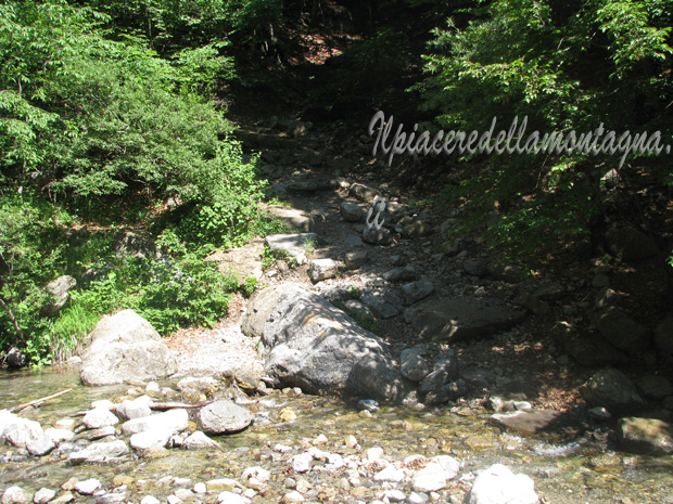
For those who want to continue, we pass the river and start to climb for 20-25 ' pushing the bike, with small sections that we can do on bike.
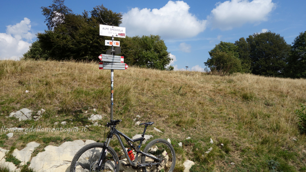
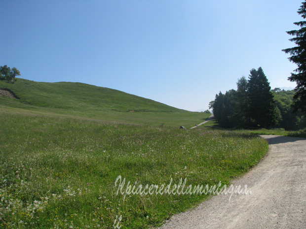
After 20/25' from the reiver, we will arrive at Pialeral where we can find also a little lake.
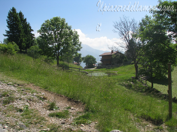
From the Pialer we will follow the dirt road that conduct to Pasturo.
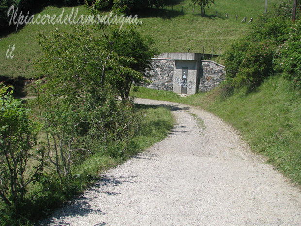
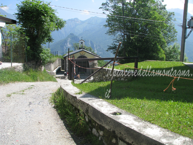
However at the middle of the downhill we will find a little chapel, where we have to turn on right and follow the indication to Balisio.
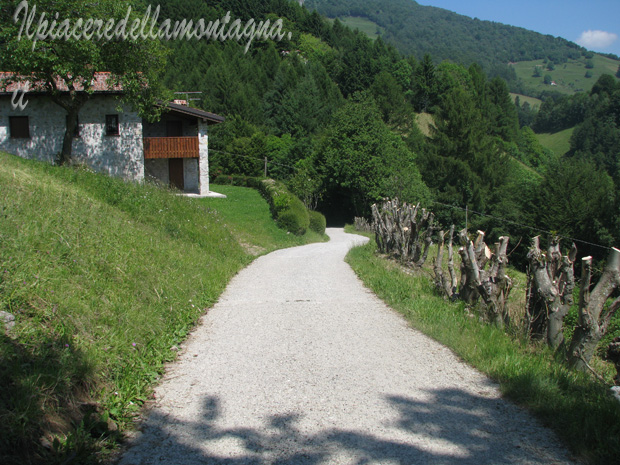
We will follow for a while the dirt road, until we reach a house where the trail tends to the right.
Here we can choose two routes, which are the same,the first going to the left we will arrive flat to Alpe Brumino and then with a carriage down to Sacro cuore; the second a hair more fun will make us turn right following the signs to Balisio, on a small path and very steep, and very fun that will reconnect with the carriage almost to the church of the sacred heart.
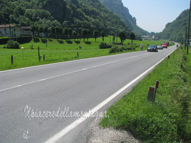
We will follow the dirt road that goes down to balisio, paying attention to the cars that could go up; we will reach the main road that downhill will take us back to Ballabio where we left the car.