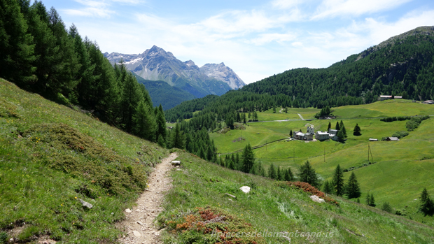
Anello Pedenolo
General Notes:
Lenght: 47.51 km
Difference in height: 1565 m
On bike: 100%, but could be less if we are not fit
Terrain: Asphalt, Trail
Fountain: In Bormio, be careful not other on the tour except for little rivers
Category: AM, Cross Country
Suitable for Ebike: Yes
GPX File:pedenolo.gpx
Description:
Pedenolo is one of the best tour for Moutain Bike in Valtellina, with an epic downhill and epic climb along the hairpins of the Stelvio Pass.
The start of this epic trail is from Bormio, our gpx file start from the Bormio's Pool, but in case you are not so fit to climb the Stelvio, you can use the bus service that allow to transport bycicles. As described in the general notes it's suggested to fill the bottle with water, because the fountains are infrequent in this tour.
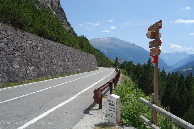
From Bormio starts the myth Stelvio pass, an amazing pass, one of the most famous of the Alps. We have to climb it for almost 19km till we will reach the Umbrail pass. The climb is quite hard with an average of 8% for all the climb. Once we will reach the Umbrail pass, 50m before the pass we will find a little trail with the indication for Bocchetta di Forcola and we have to follow it.
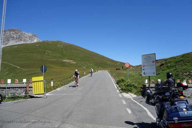
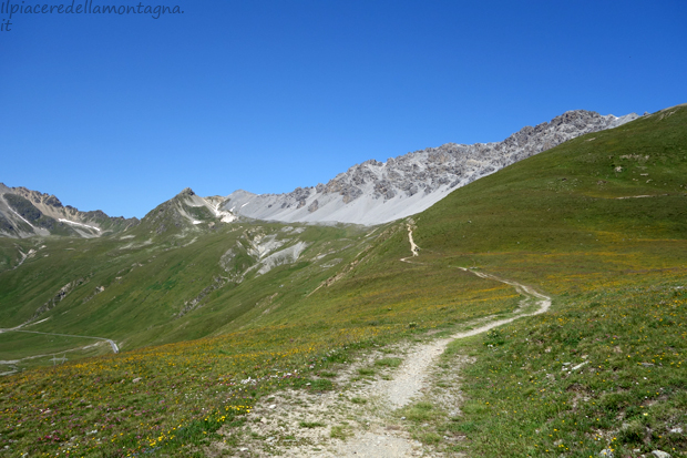
The little trail that we have take is quite simple, in the first it climbs, but just a little and after that it will become a beautiful singletrail with short up and down.
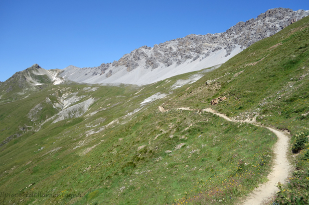
Only when we are approaching the Bocchetta di Forcola, the slope becomes very hard and we have to do this part not on bike, but this are fortunately only the last 100 meters.
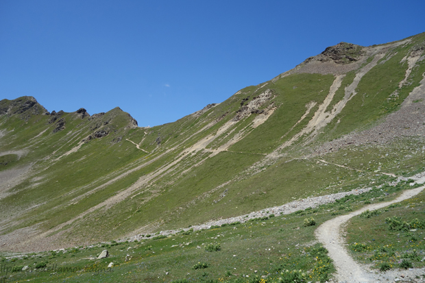
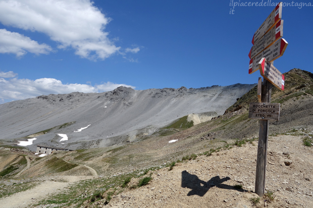
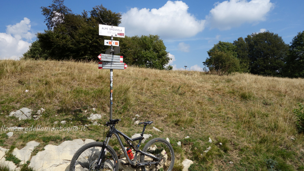
From the Bocchetta of Forcola, we will follow a short downhill for few meters till an hairpin where we have to turn on left and follow the indication for Bocchetta di Pedenolo.
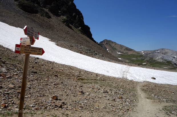
This part of the trail is quite hard to done on bike, in fact the slope is not hard, but the trail is a stony ground, till we will reach the Bocchetta of Pedonoletto it's quite impossible to done on your bike, but fortunatly is only for few hundred meters.
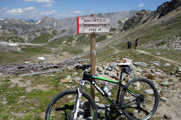
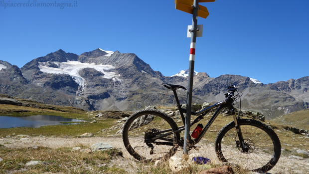
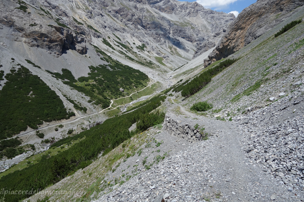
From the bocchetta it will start an amazing downhill, very long. The trail is an old military path, used in the first World War, a very flow trail with an amazing landscape.
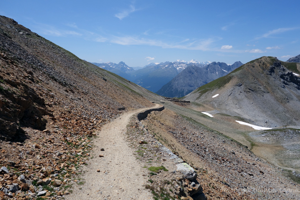
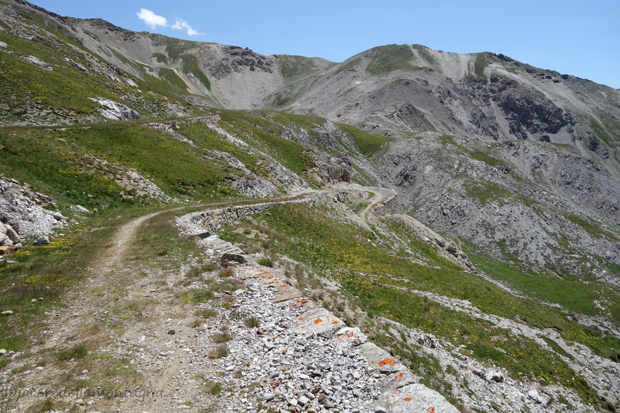
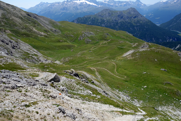
Once we will surpass Malga Pedenolo, the trail continues to be very fun and flow, but the landscape will change, now we have ravine on our side and the path is very narrow.
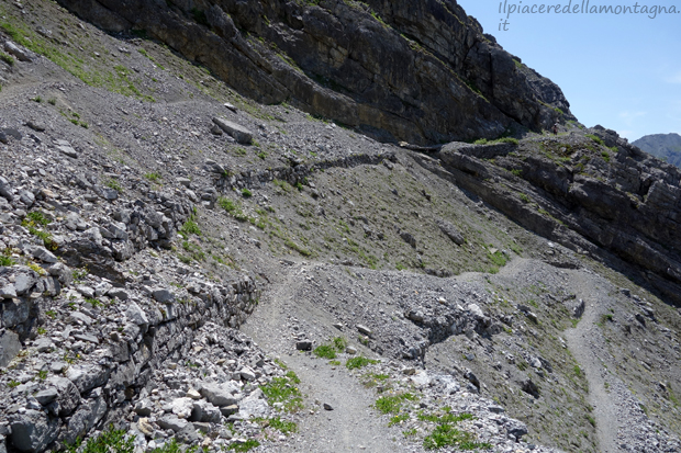
This part ends at bottom of the valley, when we will cross a little wood bridge, in last kilometer the path becomes large and easier.
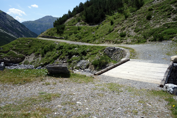
Once we will cross the bridge we have to turn on left and follow the dirt road till a pic-nic zone next to the Solena refuge; however just before arriving at the pic-nic zone we will turn on left and follow a trail to Boscopiano, we will found also a signal that indicates the path and it's quite impossibile to lost the way.
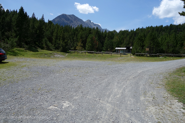
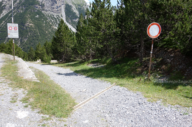
After this point it's starts another downhill to Boscopiano, this time we will follow dirt road, without any difficult; the downhill is divided in two parts, and between them we have to do a little climb, after cross a stone brige.
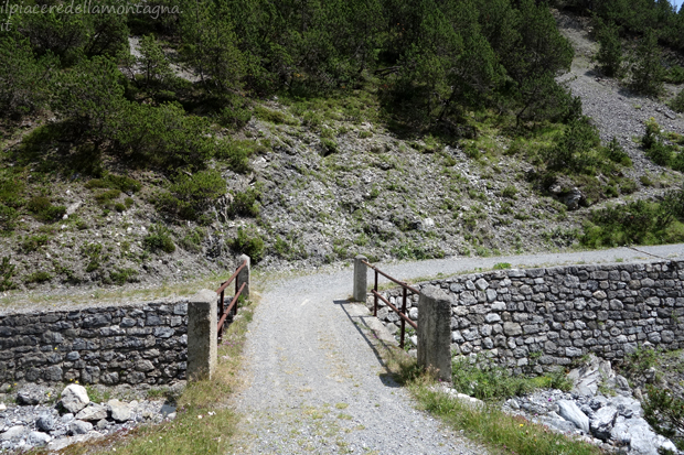
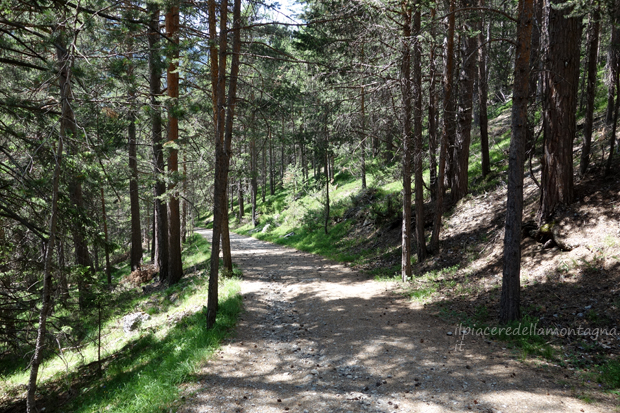
The downhill will end after Boscopiano, where we will find another stone bridge that will allow us to cross the river Braulio.
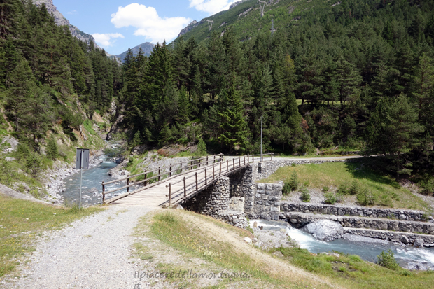
After this bridge we will to climb again, till the path will reach again the Stelvio pass, the climb it's not difficult, but after this point we can be tired and could be very difficult. Once reach the street we will follow it or follow the trail in the parc of the Bagni Vecchi, till we will return to Bormio.
